

Tap Tap to Zoom
Product No Longer Available
Unfortunately Garmin Inland Lakes Boundary Waters GPS Maps is not listed by CampSaver.You can also explore other items in the Camp & Hike, Fishing, Boating & Marine, Camping Essentials, Electronics & Power, Fishing Marine Electronics, GPS yourself to try and find the perfect replacement for you!
Product Info for Garmin Inland Lakes Boundary Waters GPS Maps
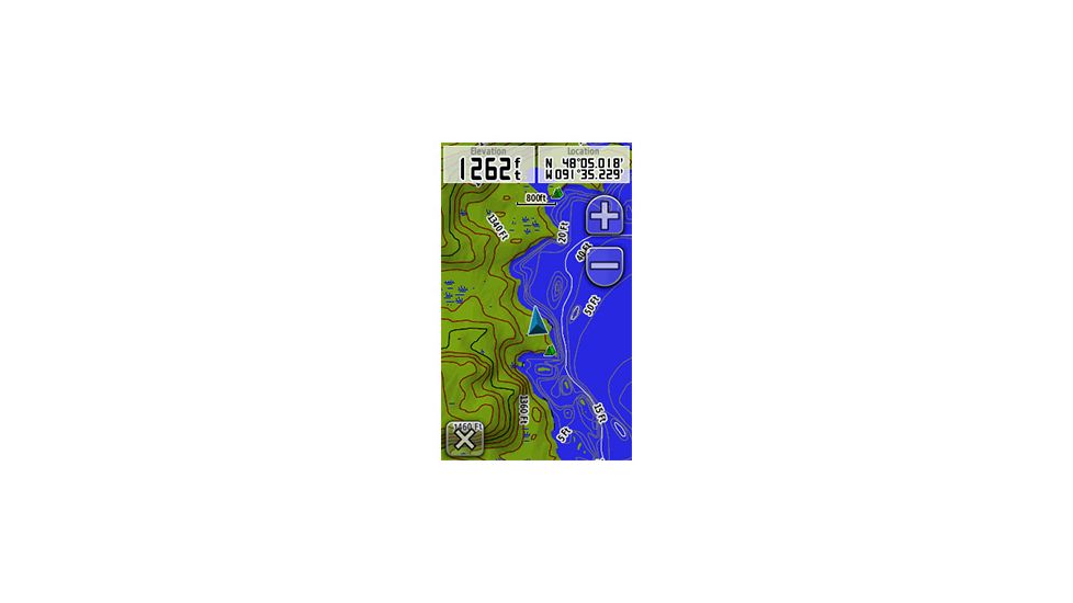
Garmin Inland Lakes Boundary Waters 010-C1060-00 allow you to navigate the Boundary Waters Canoe Area located between Ontario, Canada, and Minnesota. With this Garmin GPS Map, you can receive highly detailed inland lake and topographic maps on your compatible Garmin GPS device. The Inland Lakes Boundary Waters Data Card from Garmin provides routable road content for accurate directions to your destination with navigational aids, hazards, searchable points of interest, campgrounds, businesses and more.![]()
Specifications for Garmin Inland Lakes Boundary Waters GPS Maps:
| Available format: | microSD/SD card |
| Coverage: | Includes lake and topographic map coverage for the Boundary Waters Canoe Area Wilderness, located between Ontario, Canada, and Minnesota, on the Canada-US border; includes extended coverage of Quetico Provincial Park, plus coverage of Superior National Forest. |
| Compatible units: | GPSMAP 60Cx, 60CSx, 62s, 62st, 76Cx, 76CSx, 78, 78s, 78sc, 420/420s, 421/421s, 430/430s, 431/431s, 440/440s, 441/441s, 520/520s, 521/521s, 525/525s, 526/526s, 530/530s, 531/531s, 535/535s, 536/536s, 540/ 540s, 541/541s,545/545s, 546/546s, 620, 640, 720/720s, 740/740s, 4008, 4010, 4012, 4208, 4210, 4212, 5008, 5012, 5015, 5208, 5212, 5215,6008, 6012, 6208, 6212, 7012, 7015, 7212, 7215, eTrex x-series, Rino 520HCx, 530HCx, Oregon series, Colorado series, Dakota 20, nuvi 500 series, Astro |
Features of Garmin Inland Lakes Boundary Waters microSD/SD card:
- Freshwater lakes, rivers, streams and creek channels
- Comparable to 1:24,000 scale USGS maps and 1:50,000 scale NRC maps
- High-definition shoreline, depth contours, portages, fishing locations, boat ramps, navigational aids and obstructions
- Terrain contours, elevations, summits, geographic points and more
- Routable roads and trails, plus campgrounds and entry points
- Dense contour intervals combined with DEM (digital elevation model) data that supports 3-D terrain shading and route elevation
- profiles on compatible units to help estimate terrain difficulty
- Searchable Points of Interest including geographic place names, businesses and more
- USGS quad names and townships, ranges and sections (when available on compatible units)
Package Contents:
- Garmin Inland Lakes Boundary Waters Preprogrammed Data Card 010-C1060-00
Be the first to review this product